Orléans neighbourhoods
Orléans was first settled in the 1830s, mostly by French Canadian families centred on the parish of St. Joseph d'Orléans. In 1858 Luc Major registered the first subdivision plan, which established the village of St. Joseph. Large-scale suburban growth began in the late 1960s with Queenswood Heights, and the population grew from roughly 6,000 in 1971 to about 24,000 in 1981. Convent Glen and Orléans Woods followed, then Chapel Hill and Fallingbrook in the 1980s and 1990s. Before amalgamation in 2001, Orléans was split between the cities of Cumberland and Gloucester; it now spans Ottawa wards 1, 2 and 19.
The Orléans area has 8 neighbourhoods: Convent Glen – Orléans Woods, Orléans Village – Chateauneuf, Queenswood – Chatelaine, Queenswood Heights, Fallingbrook, Chapel Hill North, Chapel Hill South and Cardinal Creek.
Updated · Facts on this page link to their sources
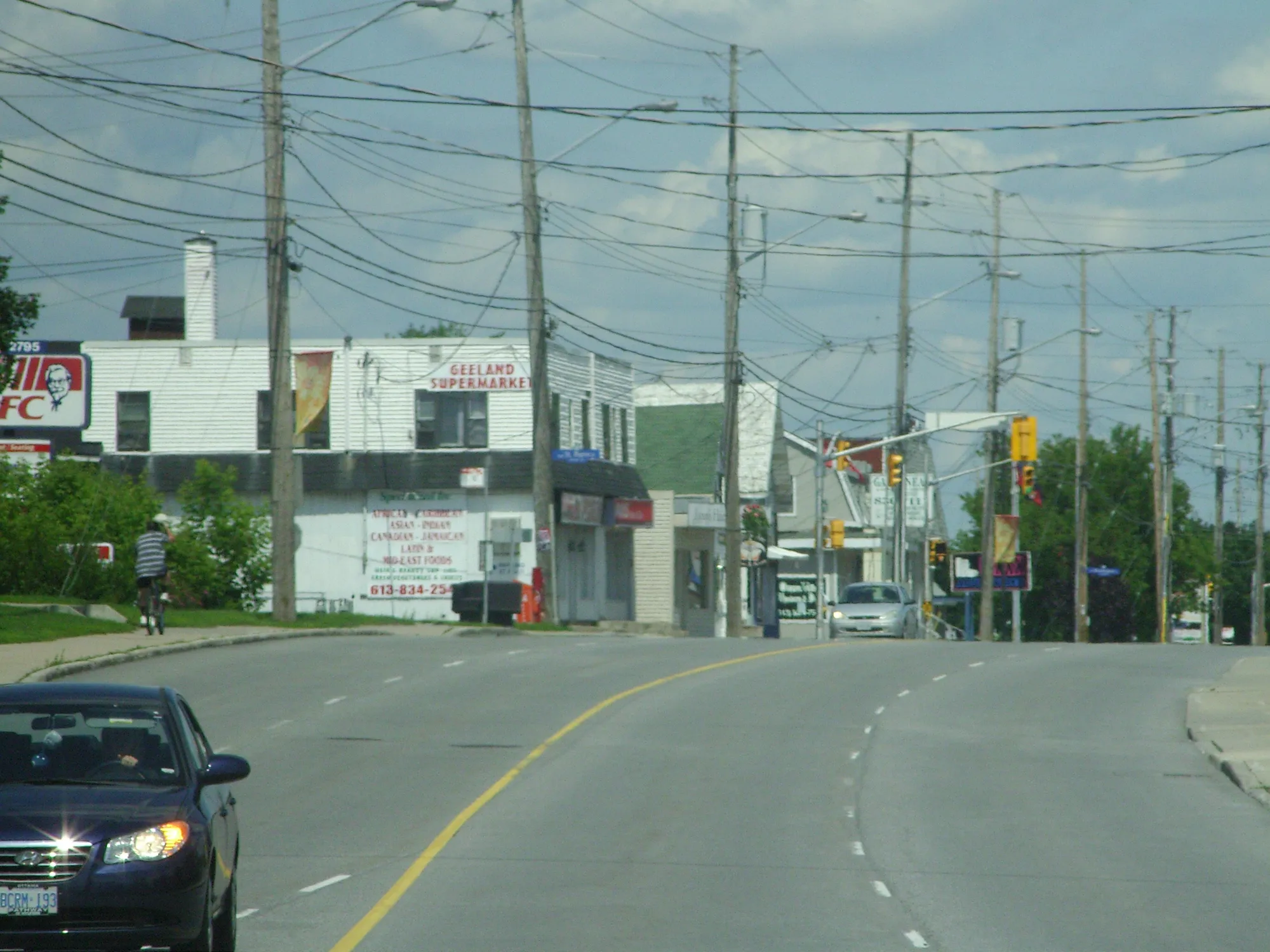
Boulevard st. joseph, orleans, ontario. Photo: Alaney2k, CC BY-SA 3.0, via Wikimedia Commons 01Convent Glen – Orléans Woods
Established western Orléans area close to the Convent Glen O-Train station site.
Ottawa Neighbourhood Study area Convent Glen - Orléans Woods.
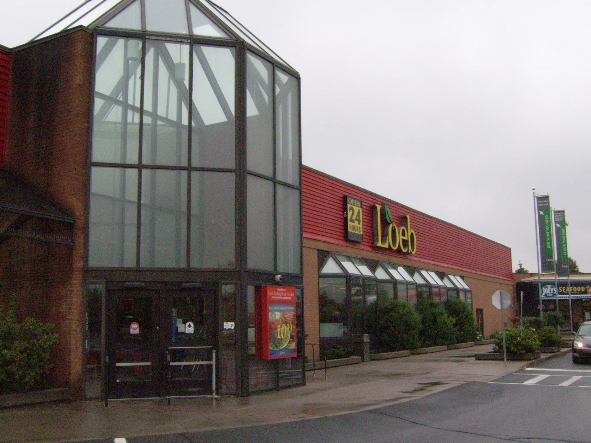
Loeb Fallingbrook 1675 10th Line Rd, C1, Orléans, Ontario. Photo: CyclePat at English Wikipedia, Public domain, via Wikimedia Commons 02Orléans Village – Chateauneuf
The historic village core near St. Joseph Boulevard, with the highest Walk Score of the eight areas.
Ottawa Neighbourhood Study area Orléans Village - Chateauneuf.
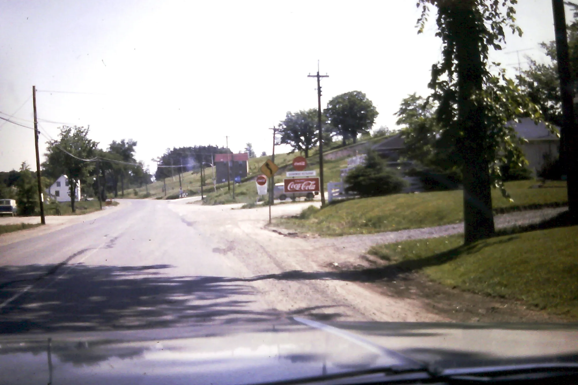
Orleans in 1970 Ottawa Canada. Photo: The Webhamster from Ottawa, Canada, CC BY-SA 2.0, via Wikimedia Commons 03Queenswood – Chatelaine
Smaller area along the Ottawa River with the highest tree canopy of the eight.
Ottawa Neighbourhood Study area Queenswood - Chatelaine.
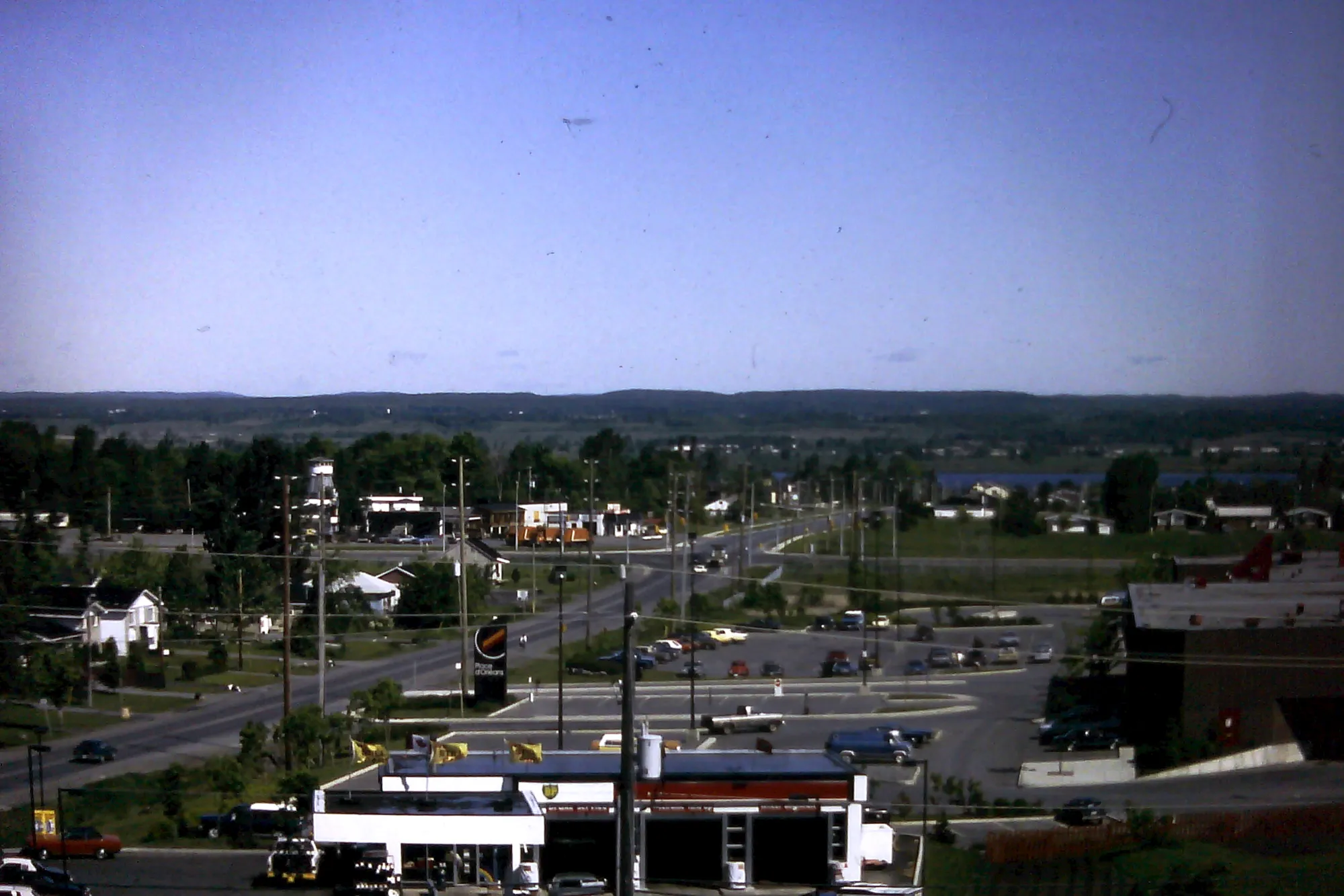
Orleans 1982 Ottawa Canada. Photo: The Webhamster from Ottawa, Canada, CC BY-SA 2.0, via Wikimedia Commons 04Queenswood Heights
One of the first large suburban developments in Orléans, next to Place d'Orléans station.
Ottawa Neighbourhood Study area Queenswood Heights.
Loeb Fallingbrook 1675 10th Line Rd, C1, Orléans, Ontario. Photo: CyclePat at English Wikipedia, Public domain, via Wikimedia Commons 05Fallingbrook
The largest of the eight areas by population, with a younger age profile than western Orléans.
Ottawa Neighbourhood Study area Fallingbrook.
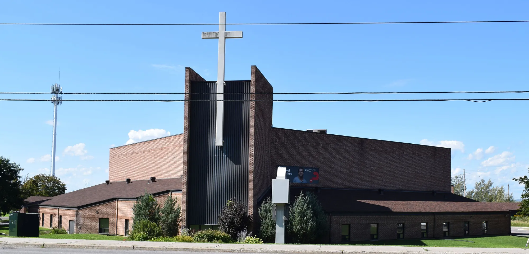
Orléans, Ontario - Community Pentecostal Church. Photo: Cantons-de-l'Est, CC BY-SA 4.0, via Wikimedia Commons 06Chapel Hill North
The closest of the eight areas to downtown, near Jeanne d'Arc station.
Ottawa Neighbourhood Study area Chapel Hill North.
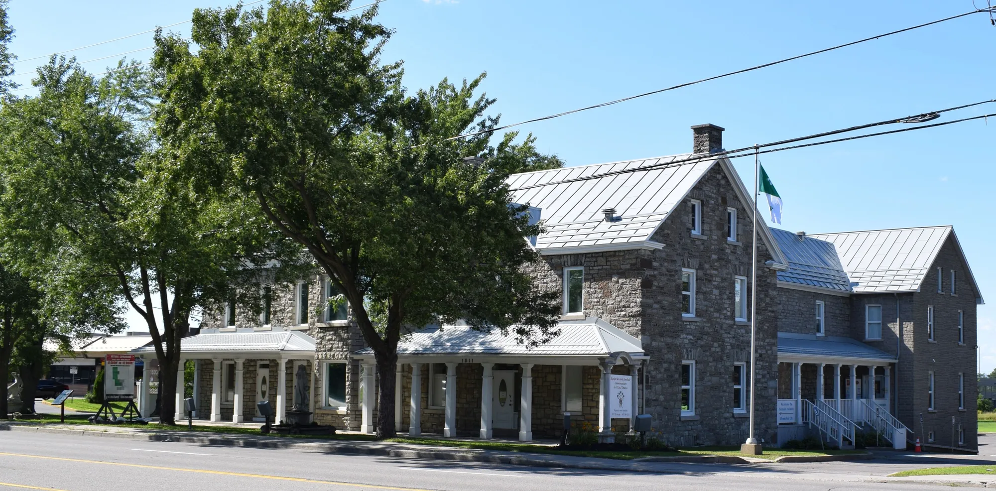
Orléans, Ontario - Youville Farm. Photo: Cantons-de-l'Est, CC BY-SA 4.0, via Wikimedia Commons 07Chapel Hill South
Newer southern area with the youngest age profile of the eight.
Ottawa Neighbourhood Study area Chapel Hill South.
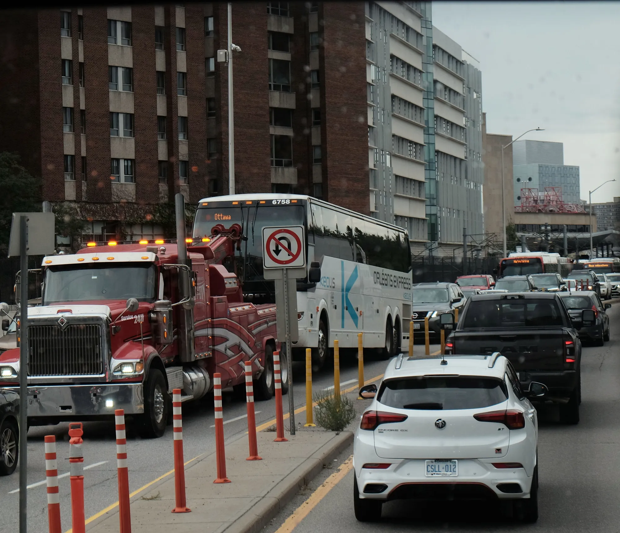
Orléans Express coach bus being towed on Nicholas street. Photo: elysia, CC BY 4.0, via Wikimedia Commons 08Cardinal Creek
Eastern area on the Cardinal Creek valley, with the highest share of French speakers at home.
Ottawa Neighbourhood Study area Cardinal Creek.
Quick answers
Short answers first; each links to the full answer and its sources.
Is Orléans a good place to live?
Orléans is a large, mostly suburban east-end Ottawa community of 139,309 people in the 2021 census, with parks, schools in English and French, and a growing rail connection. Whether it suits you depends on priorities: most workers commute by car and walkability is modest.
As of 2026-10 · en.wikipedia.org ons-sqo.ca
Where is Orléans in Ottawa?
Orléans is in the east end of Ottawa along the Ottawa River, about 16 km from downtown according to Wikipedia. It is bounded by the river to the north, Green's Creek to the west, and rural Cumberland and Navan to the east.
As of 2026-10 · en.wikipedia.org
What are homes like in Orléans?
Homes in Orléans are mostly ground-oriented: in the 2021 census, single-detached houses made up 35.7% to 73.2% of dwellings across the eight study areas, and row houses 14.3% to 37.7%. Apartments in buildings of five or more storeys were 0.0% to 5.7%.
As of 2026-10 · ons-sqo.ca ons-sqo.ca
Is Orléans walkable?
Orléans is largely car-oriented. ONS neighbourhood average Walk Scores for the eight study areas range from 21 (Chapel Hill South) to 56 (Orléans Village – Chateauneuf). Between 2.0% and 5.2% of workers walked to work in 2021.
As of 2026-10 · ons-sqo.ca ons-sqo.ca
Do more people rent or own in Orléans?
More people own. In the 2021 census, owner households were 80.3% to 92.3% of households across the eight Orléans study areas, and renters 7.7% to 19.7%.
As of 2026-10 · ons-sqo.ca ons-sqo.ca
Which city ward is Orléans in?
Orléans spans three wards. Per City of Ottawa ward data, October 2026, Ward 1 (Orléans East-Cumberland, Matthew Luloff) covers Queenswood, Queenswood Heights, Fallingbrook and Cardinal Creek; Ward 2 (Orléans West-Innes, Laura Dudas) covers Convent Glen, Orléans Village and Chapel Hill North; and Ward 19 (Orléans South-Navan, Catherine Kitts) covers Chapel Hill South.
As of 2026-10 · maps.ottawa.ca maps.ottawa.ca